


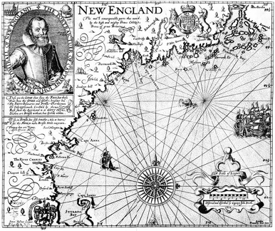
 Captain John Smith’s Map of New England
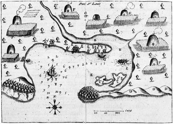 Samuel de Champlain’s Map of Plymouth Harbor
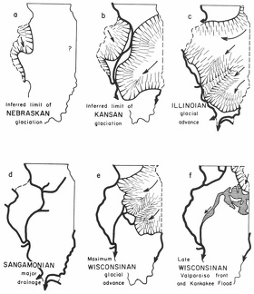 Extent of the main glacial advances
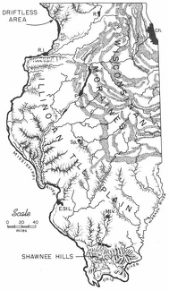 Physiographic provinces of Illinois
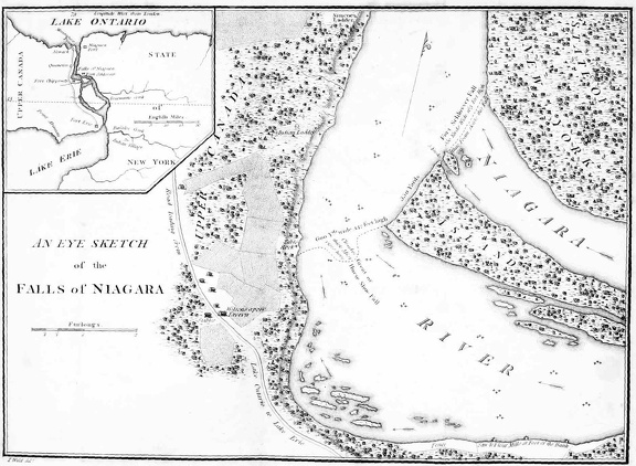 An eye sketch of the Falls of Niagara
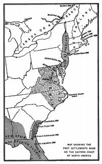 Map showing the first settlements made on the Eastern coast of North America
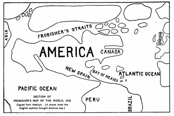 Section of Frobisher's Map of the World
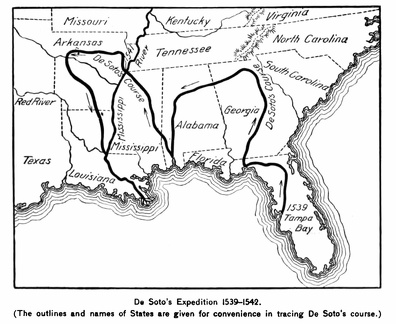 De Soto's Expedition 1539-1542
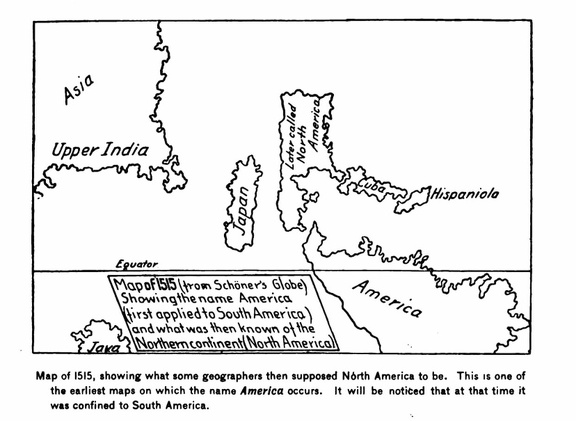 Map of 1515
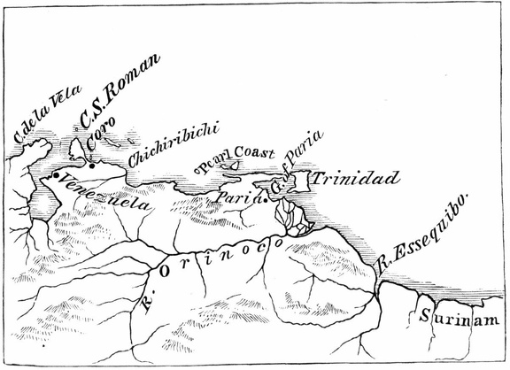 Ojeda's first voyage
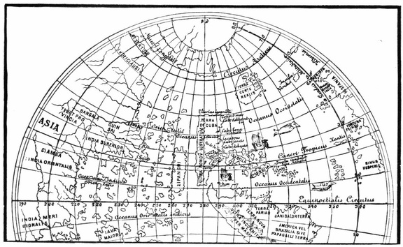 North America from the globe of Johann Schöner
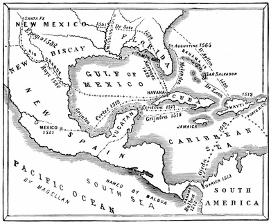 Routes of the discoverers
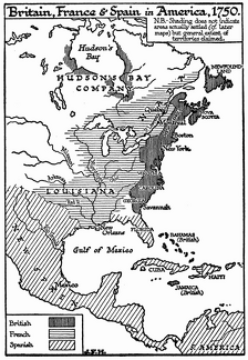 Britain, France, and Spain in America, 1750
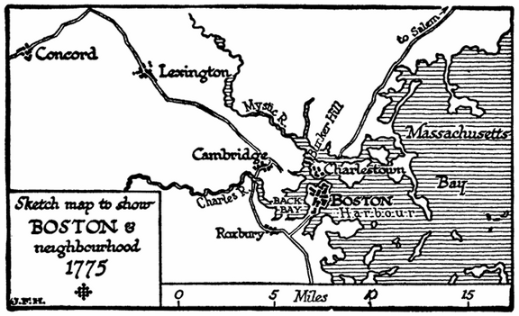 Boston in 1775
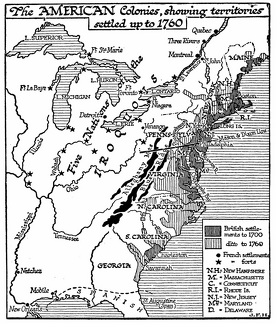 American Colonies, 1760
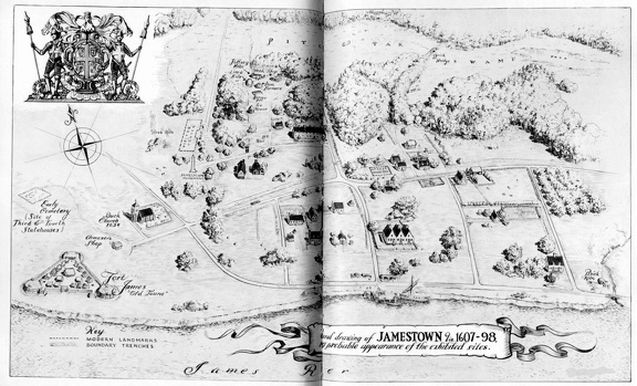 Drawing of Jamestown
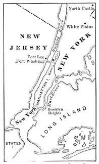 Map Illustrating the Battle of Long Island
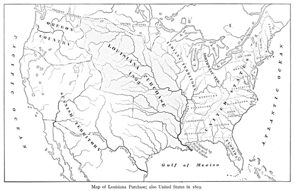 Map of Louisiana Purchase
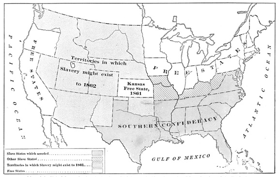 Map of the United States showing the Southern Confederacy
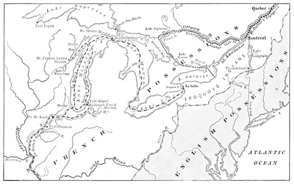 Map Showing Routes of Cartier, Champlain, and La Salle